.png)


%20.jpg)


🌪️ Super‑Typhoon Uwan (Fung‑Wong) Strikes the Philippines, Taiwan & China - A Growing Climate Wake‑Up Call
A Storm of Unusual Scale
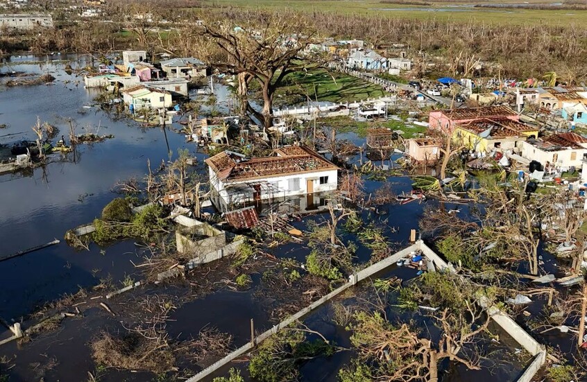
A monstrous tropical cyclone, locally named Typhoon Uwan (international name Typhoon Fung‑Wong), has locked its sights on the northern Philippines and is set to push onward towards Taiwan and southeastern China. With a circulation width exceeding 1,500 km and sustained winds already reaching 140–170 km/h with gusts forecast up to 185 km/h, this is among the most powerful storms of the 2025 western Pacific typhoon season.
Authorities in the Philippines have issued the highest alert levels, suspended classes, shut ports, cancelled flights — and ordered mass evacuations. At least 100,000 residents in eastern and northern provinces have already been moved to safer ground.
Why This Matters: Climate, Disaster Risk & Human Life
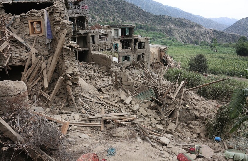
- Compounding disaster: Just days after Typhoon Kalmaegi wreaked havoc in central Philippines, leaving hundreds dead and infrastructure badly weakened, Uwan is arriving on a fatigued system with little recovery margin.
- Geographical breadth: While the Philippines is the immediate target, Taiwan and parts of southeastern China are on heightened standby. The storm’s western arc may bring heavy rains, surges and landslides far beyond the first landfall zone.
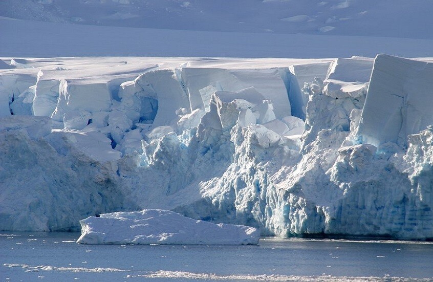
- Climate change undercurrent: Scientists warn that storms of this strength and size are becoming increasingly common, energised by warmer sea temperatures, higher sea‑levels, and instability in atmospheric circulation. The scale of Uwan suggests a new benchmark in regional disaster risk.
- Human vulnerability: Coastal communities in Luzon, low‑lying islands, and the poverty‑stricken eastern seaboard are exposed. Storm‑surge warnings of 3–5 metres have been raised.
What to Watch & Where the Threat Lies
- Landfall zones: The eye of Uwan is predicted to pass near Catanduanes on Sunday and may make landfall in Isabela or northern Aurora province early Monday morning.
- Storm surge & flooding: With the powerful circulation, storm surges up to five metres are forecast in multiple coastal provinces. Inland, heavy rainfall (100–200 mm+) may trigger landslides in mountain slopes still weakened by typhoon‑Kalmaegi.
- After‑effects: Beyond the Philippines, Taiwan and China must prepare for wind damage, rainfall, coastal flooding and logistical disruption as Uwan migrates west‑north. Evacuation and disaster readiness in those zones will be tested.
iponder’s Perspective: Awakening Alarm Bells for Humanity
This event is more than a weather story. It is a divine mirror to humanity’s fragile footprint upon the earth. The Qur’an declares:
“Do they not look at the earth—how many things We have caused to grow in it? And We will cause them to be destroyed in an hour of which they perceive not.” [Surah Yâ‑Sîn 36:33]
In Uwan we see:
- A warning of yet greater forces at work in the earth and sea.
- A call for sustenance, retreat, and humility. The strong do not always prevail; the sea and wind serve as reminders of the One Who orchestrates.
- A test for the global community of believers and caring nations: are we prepared not just to survive, but to care for the vulnerable, rebuild with justice, and reduce our collective footprint?
Those communities already battered by recent storms are now facing a second wave of threat. This is an invitation to wakefulness: to strengthen infrastructure, to reduce risk, to honour the weak.
✅ What to Do Now
- If you are in the affected zones: heed evacuation orders, move inland or to higher ground.
- For readers afar: follow credible sources, support relief networks, and reflect on how climate vulnerability links us globally.
- For decision‑makers: use Uwan as a catalyst to review disaster preparations, early‑warning systems, evacuation logistics, and long‑term adaptation.


.png)
%20(1).png)
.png)

0 Bookmarks
0 Comments
Join the discussion